Travel

Wild Rose Tour: Peace River → Edmonton

This is part three of a seven part series about my trip around Alberta.

All types of clouds today: overcast, fluffy, feathered bottoms, soft tops, and the rainy varieties. The prairies lend themselves to skyscapes.

I left Peace River by coming up and out of another valley. Pretty typical prairie views leaving Peace River, but as I got closer to High Prairie the trees started lining the road. There was a nice little town named McLennan that had bird silhouettes on all their lampposts. I turned onto Grizzly Trail and had the whole stretch of road to myself, save one camper van.

Grizzly Trail.jpeg

The ferry near Fort Assiniboine and the subsequent ferry ride were fantastic. It’s a wonder this thing operates when a bridge would do. It’s undoubtedly a relic from a different time, but I’m glad it’s here. The rest of the drive to Edmonton was uneventful. More 80s jams with a few podcasts mixed in.

Klondyke Ferry.jpeg

Today’s big event was the run through Edmonton’s river valley and it was pure bliss down in that forest. The recent rain left puddles for jumping and wet air for breathing. I was running fast with a smile on my face the whole time.

River Valley.jpeg

My dinner for one looked like dinner for two, and the two sets of cutlery in the takeout bag all but confirmed it. Gnocchi with gorgonzola sauce, an arugula salad with beets and goat cheese, more bread, and Italian donut bites with a hazelnut spread for dessert. Superb.

Mustered up my last bit of energy to do laundry in the sink and then fell asleep before my head hit the pillow.

This is part three of a seven part series about my trip around Alberta. Check out the next part.

Wild Rose Tour: Jasper → Peace River

This is part two of a seven part series about my trip around Alberta.

The drive out of Jasper started overcast and drizzly but it wasn’t long before I saw the “Scenic Route to Alaska” sign and made the big lefthand turn onto Highway 40. The clouds parted, the traffic thinned, and Neil Diamond’s Sweet Caroline started playing. The road was an endless climb with endless trees and I couldn’t shake the feeling I was driving through one of Earth’s lungs. Boreal forest as far as the eye could see.

Jasper Outskirts.jpeg

I stopped for lunch at Grand Cache Lake and what followed was the worst catastrophe in the history of sandwich preparation. This lake was surrounded by gale-force winds, but I was stubborn and determined to make my sunflower butter and jam sandwich on the picnic table. Nature had other plans. So here lies a brief catalogue of the tragedies. The sunflower butter lid flew away. Both bread slices were almost airborne at all times. One slice achieved minor liftoff and slapped—toppings side up—the side of the jam jar. Lastly, the surface of the bread was nearly dried out completely from the wind sucking the moisture away. And despite all this, I made and ate my goddamn sandwich in a hurricane. 10/10 would recommend.

Grand Cache Lake.jpeg

The drive through Grande Cache was pleasant! It sits up high on a hill with a main road leading down a long way. It feels like the ocean should be at the bottom of that hill, but it isn’t, so that stops it from feeling like a seaside town. Small homes, lots of outdoor equipment, and every second person owns a large RV.

After Grande Cache I entered oil and coal country. This was an organized operation. The construction zones started, well pads to my left and right, and many stoppages along the way. The cars turned to trucks, and the trucks turned to semis. A collage of fresh asphalt, pylons, and reflective vests ahead of me. Past that, I was on my way to Grande Prairie which felt like the engine room of the province with its mix of oil and gas, agriculture, and forestry industries.

As soon as I dropped into the first valley outside Grande Prairie I emerged in the Peace Region. A pretty name for an equally pretty place. I crossed a large bridge and came out of the valley to more fields and golden light. I rode this high into Peace River which is a quiet—and dare I say, peaceful—town. I dropped off my bags at the Sawridge Inn and ran down to the river to stretch the legs before settling in for the night.

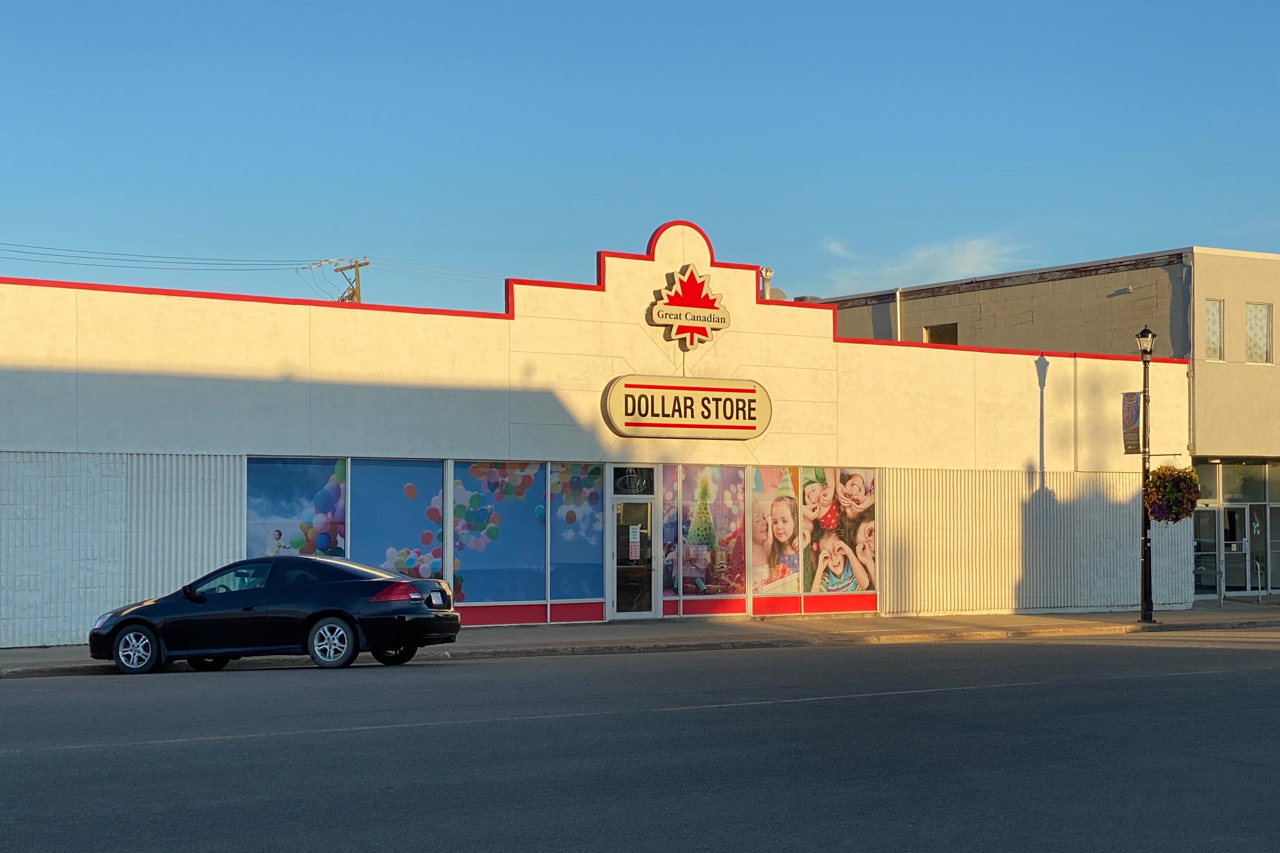
Dollar Store.jpeg
Peace River.jpeg

This is part two of a seven part series about my trip around Alberta. Check out the next part.

Wild Rose Tour: Calgary → Jasper

This is part one of a seven part series about my trip around Alberta.

On August 31, 2020, during the strange middle-times of the pandemic, I set out on a solo road trip through my home province of Alberta. I felt compelled to do this for a few reasons. First, sometimes I get the feeling I’ve seen and done more in other countries than my own. But plentiful tourists visit Alberta from all over the world each year and I thought it might be time to see home through their eyes. Second, the ongoing pandemic has limited travel (RIP my 2020 Vietnam trip), so now more than ever felt like the perfect opportunity to explore the “backyard” (as safely as I could). 3,500 km later and I was back in Calgary having seen prairies, foothills, mountains, badlands, and boreal forest.

Route Overview.png

Throughout the trip I was recording GPS tracks, writing journal entries, and taking plenty of photos. Since I suspect travel will be limited for a while longer, I thought it might be fun to reflect on the trip and post itinerary notes from each day. Maybe it’ll help you plan their own Alberta tour! Or maybe you’ll feel inspired to (safely) explore your own backyard.

This itinerary makes a 3,500 km loop around southern Alberta (a distance that could get you over 1/3 across Canada) and breaks down to about 500 km of driving per day.

So the journey began. “Goodbye house” as I locked the door. Groceries safety tucked away in the trunk. This first leg of the drive was a familiar one. I took the same Trans Canada route people take out of Calgary and into the mountains. It was filled with songs from my “Wild Rose Tour” playlist, named for Alberta’s floral emblem—the phrase “Wild Rose Country” also emblazoned on nearly every license plate in the province. The playlist is filled with 80s rock. Every Rose Has Its Thorn and You Spin Me ‘Round were on repeat.

Highway 93.jpg

Started up the Trans Canada Highway (TCH) and north onto Highway 93 toward Jasper. I found an abysmal lunching spot that was so dull I watched a car pull into the parking lot, then promptly reverse out and continue on the highway. Instead, I’d recommend Coleman Creek for your lunch. I stopped in here to stretch the legs and take my first car selfie.

I was excited for the Columbia Icefields and they didn’t disappoint. It’s otherworldly up there on that glacier. Nearby was the Icefield Skywalk, a gorgeous cantilevered viewing platform with a glass floor. As I walked around I listened to the audio tour that explained the geology and wildlife of the area. The glass floor was not as terrifying as I’d expected despite my debilitating fear of heights.

Columbia Icefields.jpg

Sunwapta Falls is located off the Icefields Parkway along the way to Jasper. The parking lot was at 5% capacity and it was the clearest example yet of the complete shutdown of tourism during the pandemic. It was midday and yet I had the falls to myself which probably hasn’t happened to someone since the 1950s.

Sunwapta Falls.jpg

My overnight stop was Becker’s Chalet along the Athabasca River. It reminded me of The Great Northern from Twin Peaks if that was a collection of chalets instead of one giant hotel. There are multiple cabins throughout the site and the whole setup was reminiscent of Woods on Pender, the place I stayed during a trip to the Southern Gulf Islands.

Becker's Chalets.jpg

I ate at the restaurant, which marked my second restaurant meal since the start of the pandemic. I ordered plenty of food. Cauliflower bites, BC salmon with vegetables, bread with fancy butter. My appetite was large and I ate it all.

Becker's Chalets Dinner.jpg

This is part one of a seven part series about my trip around Alberta. Check out the next part.

Windy in Waterton

It's been a while since we've hit up nature for some fresh air and spaciousness. Friday night we made a quick plan to go to Waterton Lakes National Park. Saturday morning we packed into the truck for its superior all-wheel drive capabilities and went on a road trip. Brittany and I had Waterton on our list of places to visit and it was finally happening. We ignored the wind warning and ventured forth.

image.jpg
image.jpg
image.jpg

The drive from Calgary to Waterton is about three hours but there are a handful of lookouts along the way where you can take a break from driving and stretch. One particular lookout just outside the entrance to Waterton Lakes National Park had a great view of a group of mountains. The wind was eroding the layer of snow at their peaks.

image.jpg

The toll booths leading into the park were abandoned and the road to the Prince of Wales hotel wasn't plowed. The whole thing had an eerie Shining vibe to it. Thankfully the snow wasn't deep and we all had boots so we made our way to the top of the hill.

image.jpg

The wind was much stronger around the hotel. We were all having fun leaning into it and letting it push us around. These were definitely newscaster-reporting-on-impending-hurricane winds. Mum fell over near the top of the hill and Levi had to bail after he started running and couldn't stop.

image.jpg

Our next stop was Cameron Falls. It was around this time we realized that Waterton is deserted in winter. Shops are closed and boarded up and most people have left their cottages. We drove through the town nearly alone. Anyone else we saw seemed just as amazed at the emptiness as we were. A little research beforehand would've told us Waterton shuts down in winter but our spontaneity got the better of us.

image.jpg

The lake in Waterton felt more like an ocean when we got to the beach. The wind was creating some impressive waves that crashed against the shore. A few of them looked like they were flash frozen. We started picking up snow, throwing it and then watching where the wind took it.

image.jpg
image.jpg
image.jpg

Dad wanted to see how far the Akamina Parkway went in winter. It's a winding road that goes out of Waterton and leads to the nearby Cameron Lake. Along the way we saw ice climbers scaling a waterfall. A few other cars were stopped and watching from the road.

I had some video from the day so I put together a collection of hyperlapses, slo-mo footage and evidence of just how windy it was in Waterton.

Playing Around with Storehouse and Exposure

I gave Storehouse a try after they won an Apple Design Award (congratulations to them!). It was a great way to put together a post about The Road to Hana in Maui. Everything in the app feels so responsive and fun and the quality of content on there is fantastic.

I didn't ignore Exposure though. They don't have the same 50 image/video limit that Storehouse does so I was able to put together a much more in-depth story about the whole trip.